Anything is possible at Carolina.
We see that every day. From finding new cures to providing new scholarships, at Carolina we know that the best is yet to come. And we hope you see it, too.
This site is a resource and playground. It is a place where you can learn about some of the incredible stories that happen here. Or perhaps you have a story to share? Help us create this site by sharing something bold, innovative or inspirational that you experienced at Carolina, particularly because a private donation made it possible. Anything is possible here, but it isn’t free. Thankfully we have generous donors who see the potential and help make it happen.
We know there are many more to tell, maybe even yours.
We want to hear them. We need your help to collect them.
Click here to share your stories or the ones you’ve heard. This is your site, so help us fill it with all the ways Carolina is making a difference in the world.
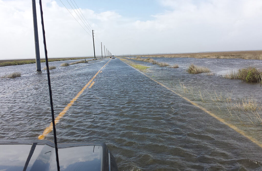
 King tides are the predicted highest and lowest tides each year on coastlines worldwide. In the past two years, high-tide versions of king tides have contributed to flooding in Beaufort, Morehead City and other areas along North Carolina’s coast. They caused impassable streets and roads, temporarily closed businesses, damaged houses, buildings and vehicles, contaminated water supply and created dangerous conditions.

