Anything is possible at Carolina.
We see that every day. From finding new cures to providing new scholarships, at Carolina we know that the best is yet to come. And we hope you see it, too.
This site is a resource and playground. It is a place where you can learn about some of the incredible stories that happen here. Or perhaps you have a story to share? Help us create this site by sharing something bold, innovative or inspirational that you experienced at Carolina, particularly because a private donation made it possible. Anything is possible here, but it isn’t free. Thankfully we have generous donors who see the potential and help make it happen.
We know there are many more to tell, maybe even yours.
We want to hear them. We need your help to collect them.
Click here to share your stories or the ones you’ve heard. This is your site, so help us fill it with all the ways Carolina is making a difference in the world.

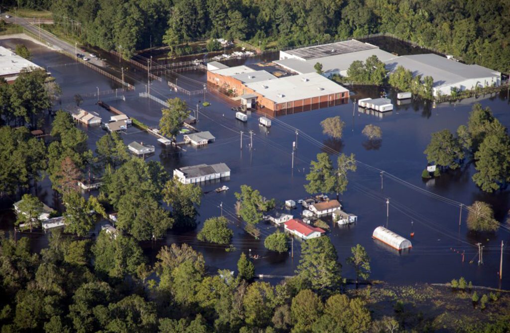
 You know that part of your yard that turns into a small pond every time it rains? Or what about that plaza down the road that floods if someone even whispers the word “storm?” These water-logged areas may have been prevented with better planning. But now that they exist, what’s next?

